In order to obtain a permit to grow our seaweed off the coast at the desired location, we wanted to make sure that local species on the seabed would not be impacted by our activities.

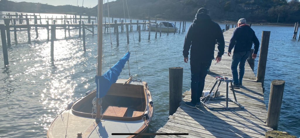
In order to do so, the team designed and built a bespoke rig that would enable us to make under water images of the whole water column and the seabed at the intended location. Using GPS technology we established a specific quadrant of locations to survey.

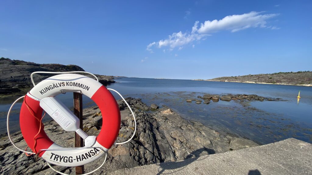
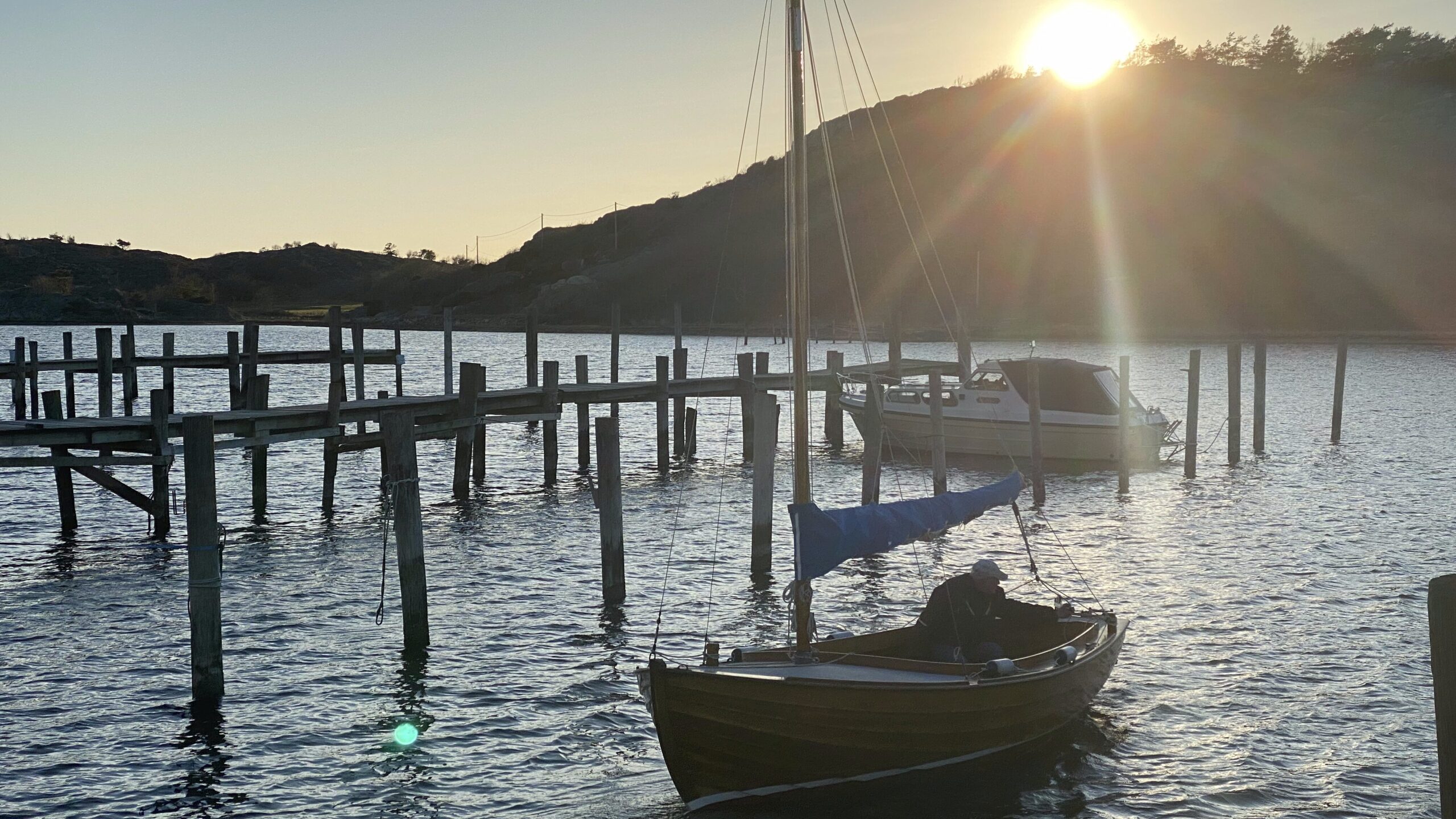
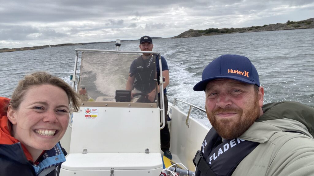
With the support of a retired local entrepreneur, who knows the area and its history well, the team sailed to the location to do initial reconnaissance and check the conditions. The sea was calm, the weather nice and the company great. Confidence grew that this spot might be just the spot that could harbor our future farm.
‘Confidence grew tat his spot might just be perfect…’
Several weeks later, the team returned with the equipment to conduct the actual survey. With over one hour of video footage and hundreds of images, we made sure the seabed was suitable and contained no species of flora and fauna that could be impacted negatively by our seaweed growing activities.

Green light to continue the application for the permit!
